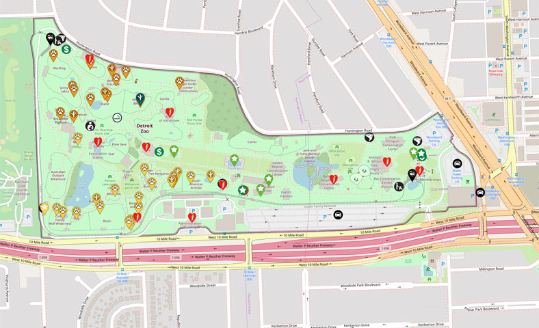
Interactive maps are an exciting and valuable asset to any website. Through our Interactive Campus Map (ICM) Platform you can easily design and make edits to your map. Adding your map to your website is as simple as copying and pasting an embed script code on your web page. Because your map lives in our cloud, it is hosted from multiple server locations to provide optimal speed and performance.
INTUITIVE USER INTERFACE.
Our friendly user interface allows you to easily flag stops on your map. In these stops you can add videos, pictures, descriptions, and/or audio to each stop. You can easily reorder your stops and update assets. After saving changes to a map all you will need to do when you are ready to “go live” with your nuCloud interactive map or virtual tour is:
Publish your finished work
Grab the embed code from our system
Embed the code on a page on your website
HIGHLY CUSTOMIZABLE.
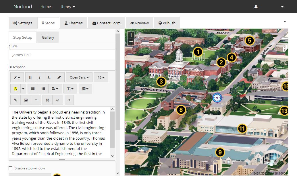
You have the controls to turn settings on or off. Theme your stop markers. You can adjust the default center and zoom positioning. Create shareable deep-links to display your map with specific information. There are different stop window layouts and legend formats to customize and make your own using your colors and fonts. Finally, if you are adventurous, we allow you to completely customize the CSS that controls the entire map.
Customize Stop Layouts
Upload Your Own Markers
Choose Desired Functionality
Create Your Own Custom CSS
MULTIMEDIA LIBRARY MANAGEMENT.
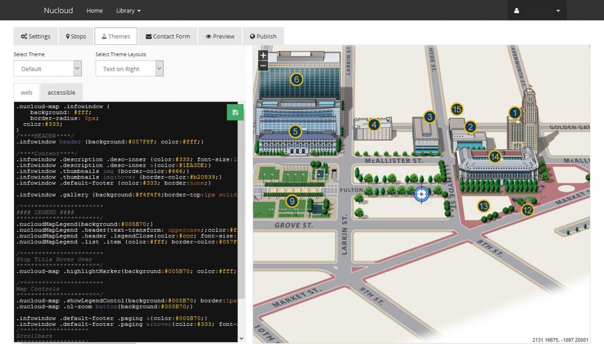
nuCloud’s multimedia library allows users to upload: icons, photos, videos, 360 panoramas, and audio files to associate with your points of interest on campus. The multimedia library also supports an embed option for any rich media assets.
360° Panorama Photos & Videos
YouTube
Vimeo
Audio Narrations
Google Maps / Street Views
MOBILE FRIENDLY.
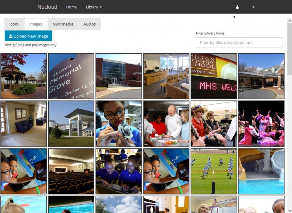
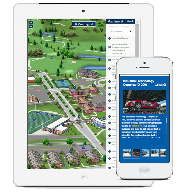
Our maps are responsively designed for mobile browsing on iOS and Android operating systems. This provides a simplified interface that allows users to navigate and click through the map on a touch device. Our mobile maps are also ready to be integrated into your responsive web design, mobile micro site or even a mobile app.
iPhone Support
iPad Support
Android Support
FACEBOOK READY.
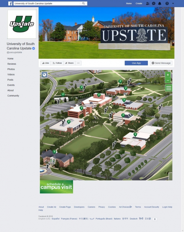
Facebook is a very important part of most every organization’s web and marketing presence. Because our content is embeddable it can go anywhere, including on your Facebook Page. This allows you to engage your audience right where they are most likely consuming and engaging with your content.
Full Experience on Facebook!
Include Your Own Call To Actions
Simple Setup Process
CLOUD HOSTED.
All the files and assets associated with the interactive map live “in the clouds”. After you create your interactive map all you need to do is grab our embed code and paste on a page of your choosing. You don’t have to worry about any of the “hidden costs” associated with self-hosting like:
Purchasing and Managing a Web Server
Handling Product Upgrades
Troubleshooting Configuration Problems
Depending on IT to Launch Your Service
INTEGRATED ANALYTICS.
Instead of building our own analytics solution we realize that almost everyone uses Google Analytics or Google Tag Manager. Through event tracking we are able to pass click data right into your Google Analytics account so you only need to go to one location to build your analytic reports.
SECTION 508/ADA COMPLIANCE.
We are always developing our system with accessibility in mind. It is the law for educational institutions to be Section 508 Compliant. We offer a, 508/ADA compliant, static version of all our maps. In addition, our platform allows users to create special views of the map that highlight the many accessibility features already present at their location such as elevators, ramps, and automatic doors. Unique accessibility maps can be generated and embedded on page separate from the primary campus map.
GEOGRAPHIC MAPS.
While our best in class interactive map illustrations are beautiful, they aren’t always appropriate for way-finding. For this reason, our system provides the ability to toggle between the illustrated map layer and geographic base map layers. Our geographic layers include street maps and satellite maps, both of which can be embedded directly onto your map page by default or toggled on and off from the map illustration layer.
